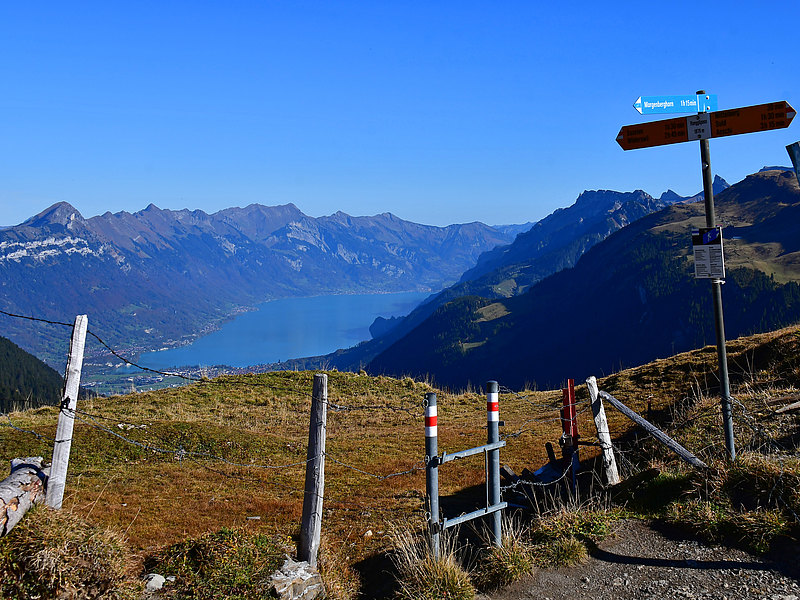
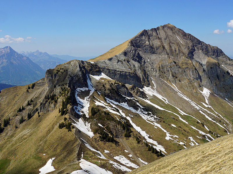
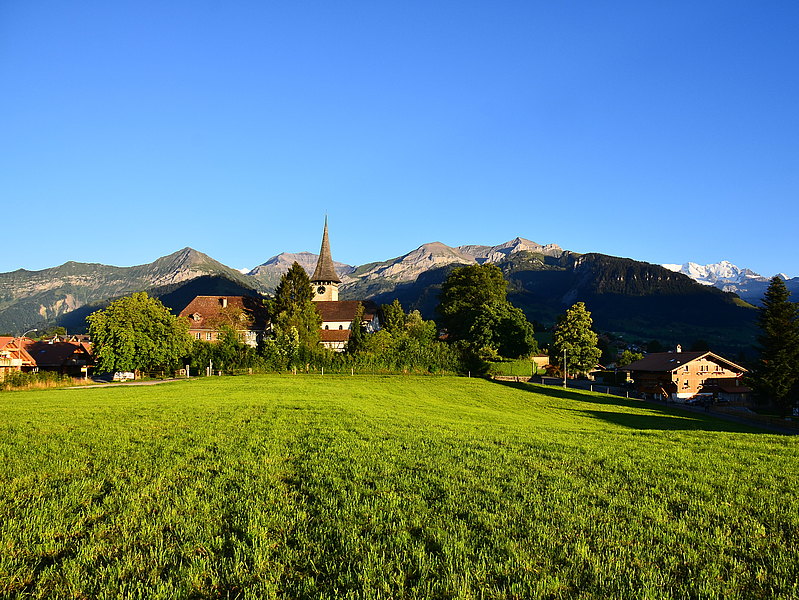
Morgenberghorn
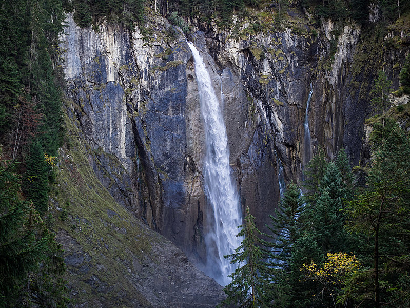
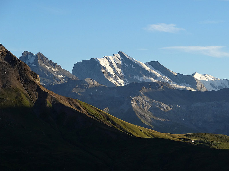
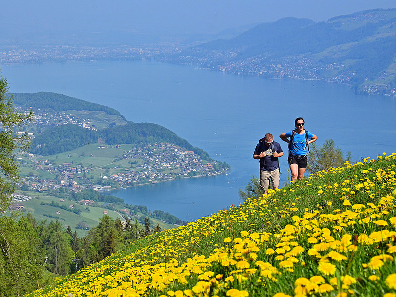
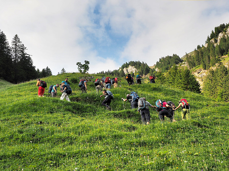
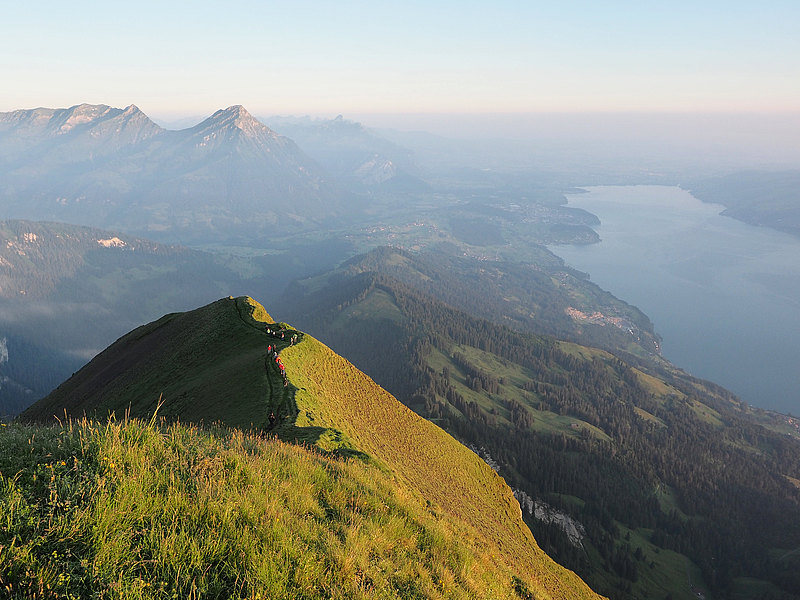
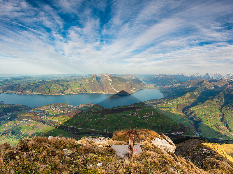
The Morgenberghorn is THE vantage point over Lake Thun. This demanding hike requires good physical condition and sure-footedness and is suitable for experienced hikers only. On this approximately 6-hour hike, you hike from Aeschiried to the Allmispitz and then follow the ridge to Alp Brunni. A steep path takes you up to the crux of the hike – it has some safety chains in place to hold on to. The view from the Morgenberghorn is magnificent. The descent is via the same path or via the white-blue-white alpine mountain hiking trail to the Renggli Pass. From here you go via the Pochtenfall waterfall, back into the Suldtal and along the babbling Suld river to Aeschiried.
Note: From the Guesthouse Suld you can take the post bus back to Aeschiried at the weekend. It takes about an hour to walk back to the starting point.
Start: Aeschiried, Schoolhouse | End: Aeschiried, Schoolhouse
Distance: 13 km | Hiking Time: 6 h 30 min
Difficulty: T2 - T3
Rengglipass - Saxeten
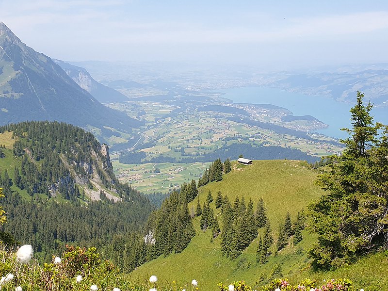
This hike starts in Aeschiried and takes you via Suld, past the imposing Pochtenfall, to Schlieri. It won’t be long til you reach Alp Mittelberg, where the valley opens up and reveals the view of the impressive rock face of the Schwalmere. Now follow the hiking trail to the left up towards the Renggli Pass. A short but steep ascent takes you to the highest point, from where you will enjoy wonderful views of Lake Brienz. Then comes the descent. After around one and a half hours you will get to Saxeten village. You can take the post bus back to Wilderswil and Interlaken.
Start: Aeschiried, Schulhaus | End: Saxeten
Distance: 13 km | Hiking Time: 5 h 10 min
Renggpass - Wätterlatte
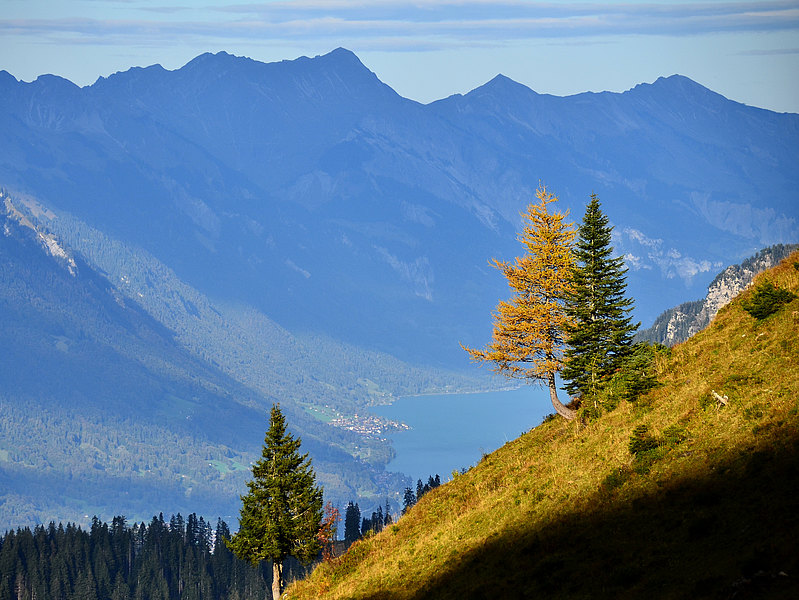
This hike leads you through the idyllic Suldtal to the Wätterlatte. The ascent to the Renggpass is steep and requires good physical condition. The pass Rengg Pass is not to be confused with the Rengglipass, which is further back in the Suldtal valley. Once you have reached the pass, follow the marked hiking trail heading for Wätterlatte. The crux of the hike is a short, somewhat exposed section of the path, which you can easily pass. After a short ascent you will reach the Wätterlatte, giving you fantastic views. The descent is via Engel into the Kiental. From here you can take the postbus to Reichenbach and then take the train to Spiez.
Start: Aeschiried, Schulhaus | End: Kiental
Distance: 15 km | Hiking Time: 5 h 50 min
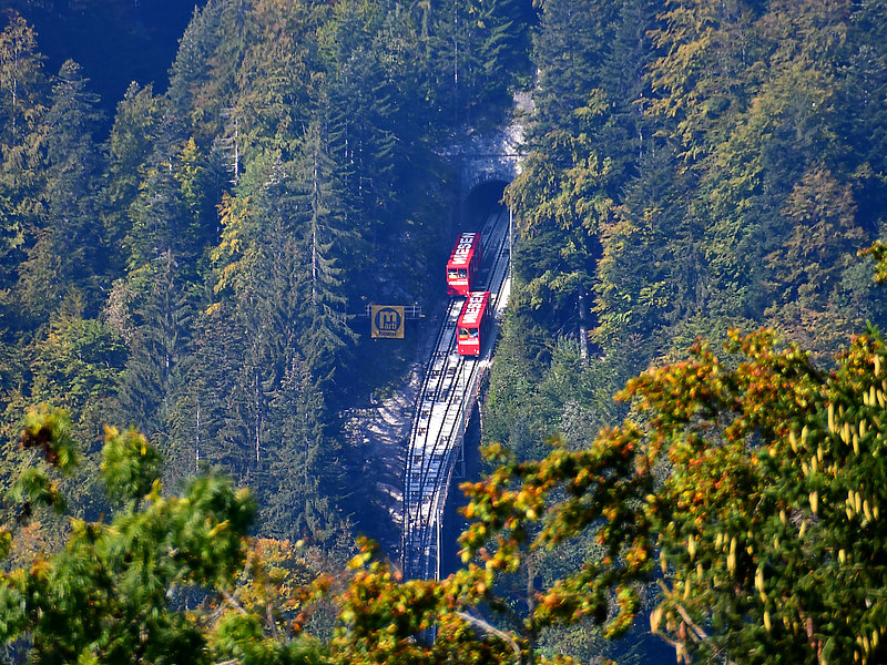
Emdtal – Schwandegg - Niesen
This hike offers a sporting challenge with many meters of altitude! The ascent is tough and leads steeply up to the summit via a zigzag path. But the effort is worth it because you will be rewarded with a fantastic panoramic view and you will have earned a tasty refreshment in the restaurant. You can take the Niesenbahn back down to the valley.
Note: Please note that the Niesenbahn has special hiking tickets.
Start: Valley station, Niesenbahn | End: Top Niesen Kulm
Distance: 10,4 km | Hiking Time: 5 h 45 min
Latrejenfeld - Kiental
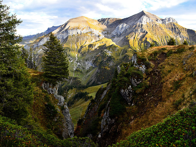
From Aeschiried you first hike into the Suldtal valley, past the Pochtenfall and up to the Schlieri. The basin opens up and you get an impressive view of the Schwalmere. Now it goes right up to the Mittelberg and the Latrejenfeld. The world seems to have stood still up here. The newly built alpine hut is the only reminder that civilization exists. The hiking trail leading to Kiental initially only looks like a grassy scar. From Eggmittelberg, the well-marked hiking trail is quite steep, and downhill via small stair sections to the Kiental. From here you can take the PostBus to Reichenbach and then the train to Spiez.
Start: Aeschiried, Schoolhouse | End: Aeschiried, Schoolhouse
Distance: 16,7 km | Hiking Time: 6 h 20 min