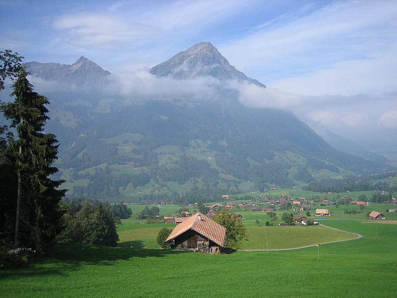
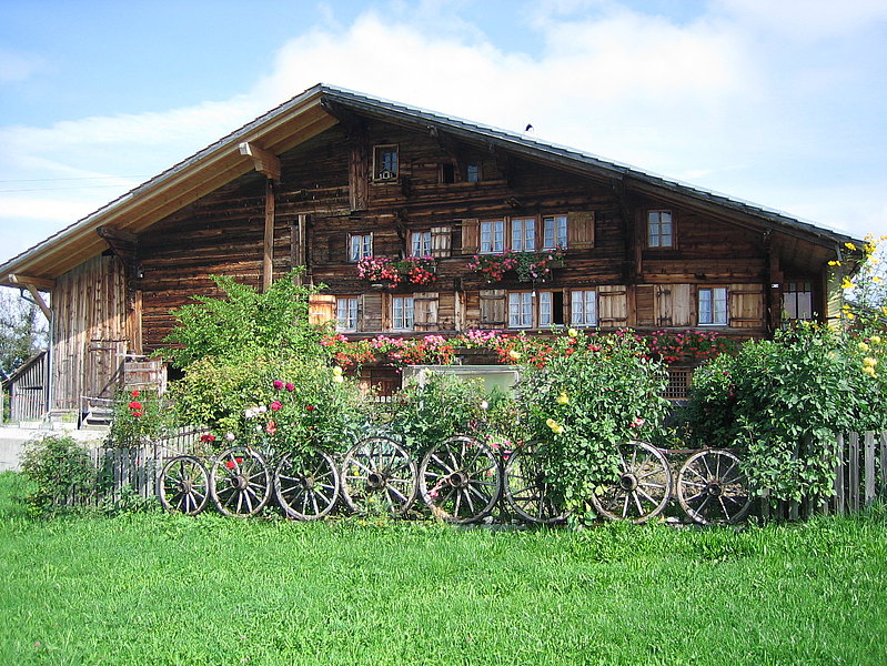
Aeschi - Mülenen – Suldtal – Aeschi
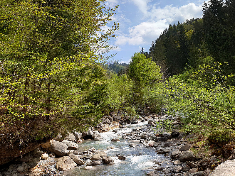
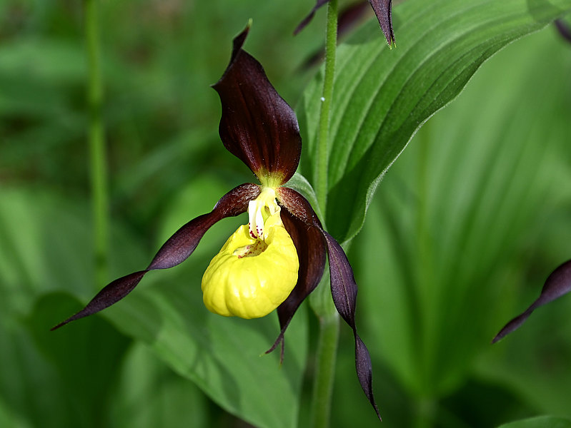
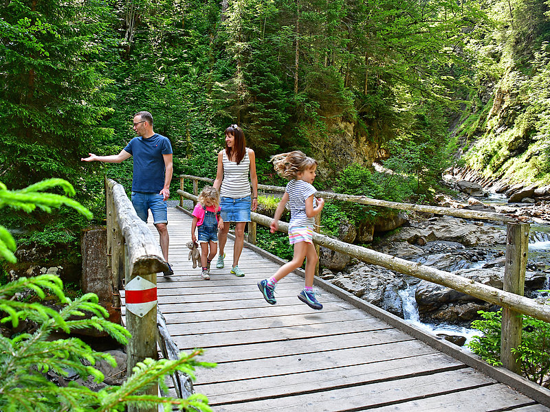
The lower part of the Suldtal is romantic and wild at the same time. But despite its beauty, this hike is relatively unknown and not very popular. In the hot summer months the proximity to the idyllic and babbling Suld river offers a pleasant way to cool down. In the spring you will find the beautiful and protected Lady's Slipper flower along this stretch of the trail, which belongs to the orchid family.
Start: Aeschi, Village Center| End: Aeschiried or Aeschi Village Center
Distance: 12,6 km | Hiking Time: 3 h 25 min
Suld – Pochtenfall - Brunni
From Aeschiried, hike along the babbling Suld river into the idyllic Suldtal valley, before climbing up to the impressive Pochtenfall. The path takes you to Schlieri and then from the foot of the Morgenberghorn up to Alp Brunni. For the way back, we recommend that you hike back to Aeschiried on the ridge, which gives you great views via Greberegg and Spitz.
Start: Aeschiried, Schoolhouse | End: Aeschiried, Schoolhouse
Distance: 12,8 km | Hiking Time: 4 h 40 min

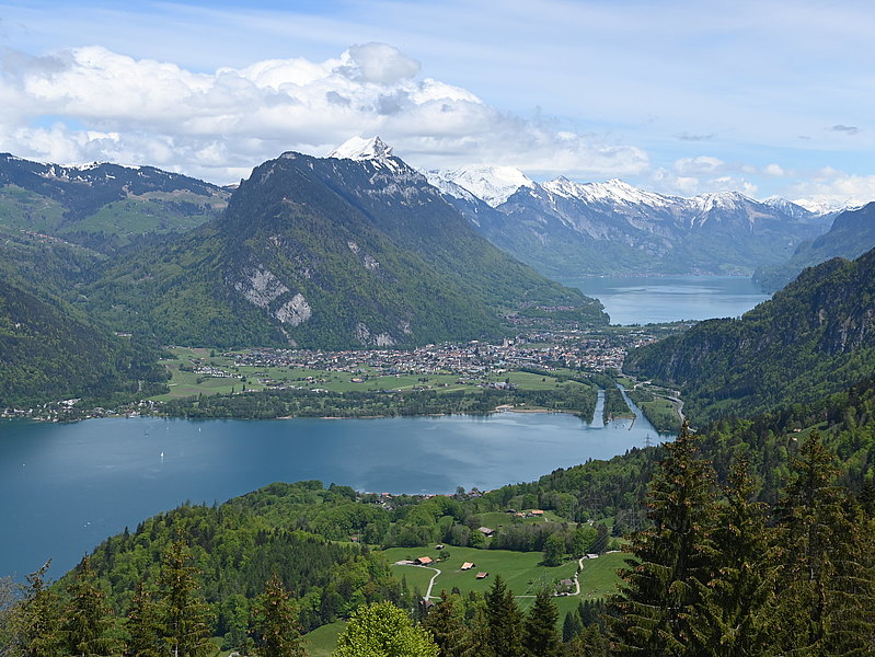
Panoramaweg - Kiental
The Panoramaweg (Panorama Trail) leads you first into the Suldtal valley, then branches off at the Suldweid to the other side of the Suld river. Next you go up to Faltschen, a small farming village on the opposite side of Aeschi. Again and again you will be left breathless by the beautiful views of the Kandertal valley, until you finally arrive in the Kiental. From here, take the postbus back to Reichenbach and then take the train to Spiez.
Start: Aeschiried, Schoolhouse| End: Kiental
Distance: 12,1 km | Hiking Time: 3 h 15 min
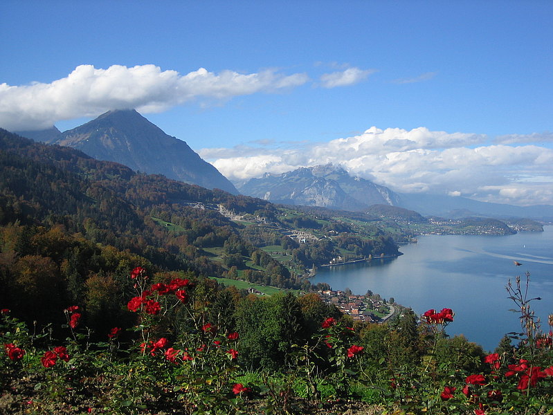
Panoramaweg - Leissigen
This scenic panoramic route takes you across meadows and through forests to the suspension bridge over the Spissibach above Leissigen. You can choose to descend to Leissigen (caution: steep path full of roots) or Därligen. From both places you can take the post bus back to Spiez and Aeschi.
Note: The entire panorama route goes from Därligen to the Kiental, and passes Aeschiried about halfway through the hike. The signposts are marked “Panoramaweg” from Aeschiried. In Aeschi, the Panoramaweg is not signposted.
Start: Aeschiried, Schoolhouse | End: Leissigen or Därligen
Distance: 8,7 km | Hiking Time: 2 h 25 min